
Mobile Releases Parking Map

The City of Mobile’s GIS department recently released an interactive Downtown Street Parking map to help those looking for parking in the Henry Aaron Loop. The new mapping tool provides an at-a-glance look at street parking spaces downtown. It also highlights the locations of the public parking garages and surface lots in the area. A color-coded design differentiates between metered, nonmetered and EV charging spaces, in addition to bus zones, fire lanes and loading zones. Users can also pinpoint areas downtown where they would like to park, which shows spaces within a designated radius. The map is available in both desktop- and mobile-friendly versions.

Read More

The Haven To Host Tails Of Hope Gala Fundraiser On October 1

The Haven To Host Tails Of Hope Gala Fundraiser On October 1

Langan Park Upgrade Project More Than Halfway Complete

Langan Park Upgrade Project More Than Halfway Complete

MPRD After-School Program Now Available

MPRD After-School Program Now Available

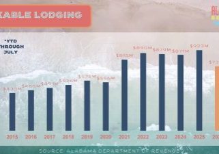
GSOBT Shares Beach Tourism Update

GSOBT Shares Beach Tourism Update

New Retailers Come To Tanger Outlet Foley, More On The Way

New Retailers Come To Tanger Outlet Foley, More On The Way

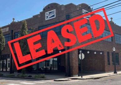
Historic Buick Building In Downtown Mobile Leased

Historic Buick Building In Downtown Mobile Leased

Baldwin County August 2026 “Traditional Residential” Housing Report

Baldwin County August 2026 “Traditional Residential” Housing Report

Baldwin County August 2026 “Resort” Housing Report

Baldwin County August 2026 “Resort” Housing Report

Causeway Classic Wooden Boat Show To Benefit CAC

Causeway Classic Wooden Boat Show To Benefit CAC

Subscribe to our weekly newsletter

Sign up here for free to get Bay Business News email newsletter every Friday.

By subscribing, you agree to our User Agreement and Privacy Policy & Cookie Statement.

Something went wrong. Please check your entries and try again.